Land managers depend on vigilant visitors.
Your timely reporting will provide agency staff with a true picture of conditions and activities on our shared open spaces.
Go to Where to Report page for information on appropriate contacts.
Land managers depend on vigilant visitors.
Your timely reporting will provide agency staff with a true picture of conditions and activities on our shared open spaces.
Go to Where to Report page for information on appropriate contacts.
FootPeople is an association of Marin residents working to conserve Marin’s public lands and their natural resources’ biological diversity and ecosystems for present and future generations. We are committed to ensuring the continued enjoyment and safety of all open space visitors. We believe that recreational uses should be subordinate to, and effectively managed for, the protection of natural resources. We also believe that no user group should be displaced from roads and trails because of a perception of lack of safety. Public lands belong to all people, and their ongoing conservation is a responsibility of all who use them. This general management policy must be supported by meaningful enforcement of regulations.
The core group of the FootPeople is involved in many other organizations including: the Audubon Society, Friends of Corte Madera Creek, Marin Conservation League, The Marin Horse Council, the San Geronimo Valley Planning Group, the Sierra Club, the Tamalpais Conservation Club, and others. Several of our group served on the Marin County Parks and Open Space Commission.Continue Reading
Following a Region 1 RTMP implementation workshop in March, the public had an opportunity to submit proposals for road and trail projects in Baltimore Canyon, King Mountain, Blithedale Summit, Camino Alto, Alto Bowl, and Horse Hill Preserves. An initial list of Region 1 proposed projects is now available on the MCOSD website. There are two proposed projects we want to bring to your attention:
a) The Marin County Bicycle Coalition, MCBC, proposes opening the Middagh Trail, an existing hiker and equestrian trail, to bike riders (who are already riding this trail illegally). The MCBC proposal includes minor and unnecessary improvements to a stream crossing, improving sight lines, and installing numerous speed control features. FootPeople opposes this change in use because:
-Alternative routes exist for bikes; improvements of stream crossings are unnecessary; neighborhood residents and the Alto Bowl Horse Owners Association are against this change in use.Continue Reading
In Region 2, MCOSD proposes to designate (i.e., to include in the official trail system) 4.8 miles to be designated “biker/hiker,” a new designation, in the Giacomini Preserve. One stretch of this trail network is proposed for the FY2016-17 Work Plan. FootPeople has requested more specifics from MCOSD staff regarding which trails will be closed in conjunction with this.
We believe a severely degraded non-system trail, Knee Cap, should be closed immediately either in conjunction with these new trail designations, or as a standalone closure due to its severe erosion, sediment, and damage to plants caused by illegal mountain bike riding and bike jump construction. Continue Reading
State Parks’ proposed change in use designation of Easy Grade from its historical hiking designation to a hiker/biker trail is underway. The Marin County Bike Coalition (MCBC) sought this change-of-use to provide an unpaved alternative to Pan Toll Road. FootPeople believe this change-in-designated-use is not needed. However, the State Parks’ project is in process; they have completed several studies and are conducting a rare plant study, and will consider potential impacts on the plants from any realignments. There will be a public meeting to receive more feedback. FootPeople believes there must be pinch points in specific areas to slow down-hill bike traffic. You can contact Victor Bjelajac at his email: victor.bjelajac@parks.ca.gov for more information, or write to:
Victor Bjelajac
Danita Rodriguez
California State Parks
845 Casa Grande Road
Petaluma CA 94954
The Marin Municipal Water District is considering improvements to Azalea Trail, important to hikers and horse people, as it connects with Pine Mountain. The off-road bike community is actively seeking this connection, and the District is considering a wider, multi-use trail situated on an old road alignment called Liberty Gulch. There will be a field trip to review these alternatives. Contact: Mike Swezy, mswezy@marinwater.org for more information,
On October 3, 2015, the Marin County Open Space District (MCOSD) held a public meeting at which it presented its Proposed Road and Trail Designations for the seven Preserves in Region 2 (Giacomini, White Hill, Loma Alta, Roy’s Redwoods, Maurice Thorner, French Ranch, and Cascade). The meeting took place from 1 to 4 pm at Lagunitas School in San Geronimo.
For a summary of this meeting’s activities and outcomes, click here.
With beauty before me, may I walk
With beauty behind me, may I walk
With beauty above me, may I walk
With beauty below me, may I walk
With beauty all around me, may I walk
Wandering on the trail of beauty, may I walk
– Navajo: Walking Meditation
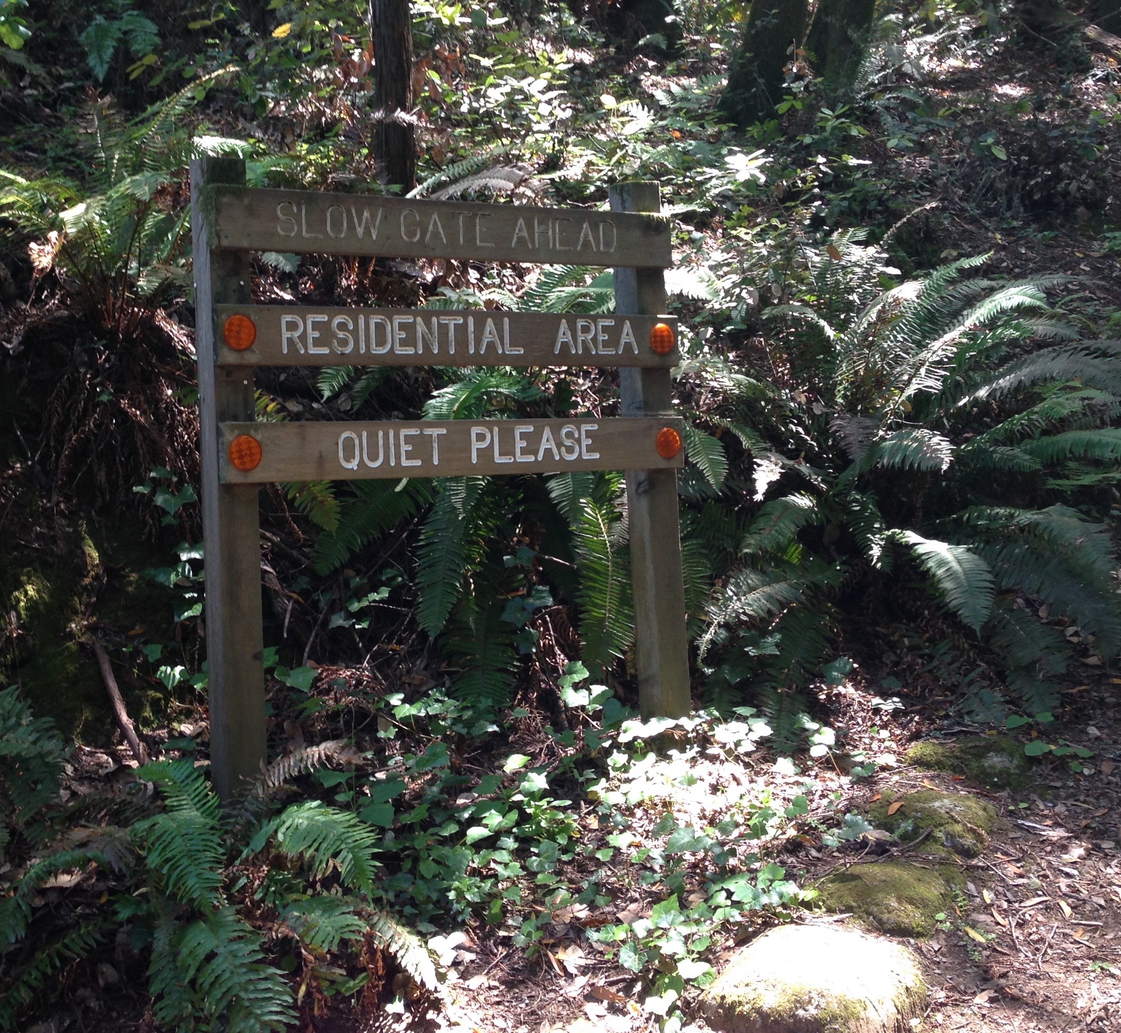 Slow and say: Quiet, Please!
Maybe… lose the earbuds and open up to the refreshing sounds of the outdoor world?